
In an earlier Inflight Zmanim Calculations – Why So Complex? post, I outlined the complexity of calculating zmanim for flights. Back in Aug 2022, Dan’s Deals posted the exciting news that Zmanim were added to El Al’s flight entertainment system. This had not been formally announced by El Al at the time since the app was really in an (unannounced) alpha/beta testing phase. A careful examination of the screenshots by members of the #zmanim channel in the Frum Software Developers Slack, showed that it was powered by the KosherJava zmanim library. It should not have been surprising that it was found and used without my knowledge, since it is a free, well documented and easy to use open source library. After a number of issues with the zmanim app were reported to me (I want to thank all of those who took the time to track me down to report the issues), Rabbi Dovid Heber reached out to El Al, and Tal Kalderon, the head of El Al’s Inflight entertainment & Connectivity team reached out to me for assistance. This lead to meetings with Boris Veksler the CEO of FlightPath3D who integrated the KosherJava zmanim code into their flight maps as an optional module that El Al is using.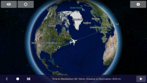
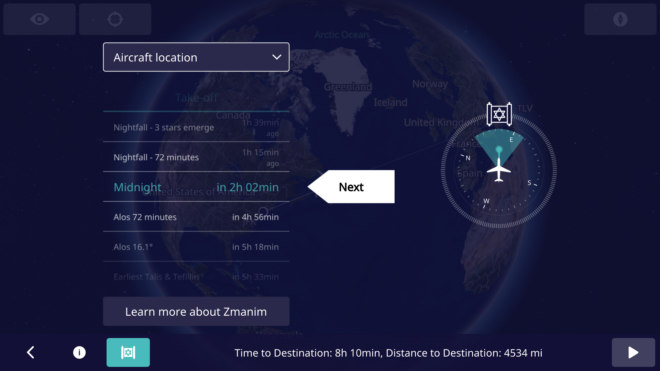
I spent time with Rabbi Dovid Heber, Rabbi Dovid Braunfeld, Rabbi Yisroel Harfenes and Reb Solly Tropper reviewing the various complexities of calculating in-flight zmanim before the app left the βeta stage and went live.
Developing Software for Aircraft
Developing apps for use on an airliner has a series of challenges, in particular for in-flight entertainment (IFE) systems. It is a complex process that requires a deep understanding of the aviation industry and the systems onboard the aircraft.
First, the hardware hosting the apps goes through stringent safety certifications and has to pass a series of requirements. These include being isolated from any cabin and aircraft controls. The most they can do is access the flight management system (FMS) in read-only mode, with no ability to push data to the FMS. These certifications are done for each aircraft configuration and can take a year or more to complete.
Software and the associated apps also follow similar certification processes. The software must be designed to work seamlessly with any IFE systems already in place on the aircraft. Thus, it has to adapt to new and older hardware and operating systems and understand and adapt to idiosyncrasies in the data provided by the FMS. FlightPath3D is a leading provider of interactive mapping software for IFE systems. This type of software provides passengers with real-time information about their flight’s location, altitude, and speed, as well as other relevant data such as the estimated time of arrival and the distance to the destination. This made FlightPath3D a natural vendor for the zmanim work. FlightPath3D has a wealth of experience in developing high-quality software solutions that meet the needs of airlines and passengers and adapt to the particular hardware installed onboard.
לז״נ אבי מורי הרב יצחק אריה בן ר׳ ברוך הירשפלד ז״ל. נפ׳ י׳ אדר ב׳ תשפ״ב.
In memory of my father R’ Yitzchok Hershfeld (Montreal).
לז״נ חמי ר׳ שרגא פייבל בן ר׳ שלמה יהודה מילר ז״ל. נפ׳ ט״ו אייר תשפ״ג.
In memory of my father-in-law R’ Feivel Muller (Brooklyn / Lakewood).
Chazak Ubaruch Eliyahu
Too bad I mostly fly United and Air Canada. You can tell them that their top tier travellers would appreciate this feature.
Wow this is an extremely useful feature!
Its always so difficult to figure out when to Daven and before you blink you can easily miss it
Really interesting stuff. Now I can stop emailing you for the zmanim before every flight.
The zmanim presented based on the aircraft location can be misleading on night flights from TLV to North America because although you may have passed sunrise as you near the arctic circle however as you come southward it becomes night once again and therefore one cannot daven anymore. It would therefore be helpful for this to be updated inflight as well when one is returning to nighttime. Thankyou for the great resource.