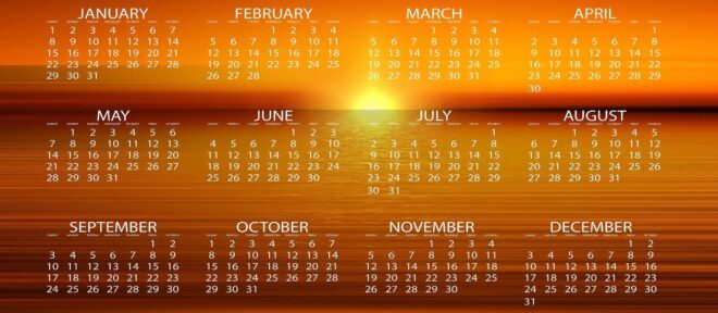
The KosherJava site now has a new vasikin calendar generator tool. This allows vasikin minyanim to generate customized vasikin charts. Offsets for various pre-sunrise davening points can be set. There are separate weekday, Shabbos, Yom Tov and Rosh Hashana / Yom Kippur offsets for each davening point. The format of the charts is Excel, but it is optimized for printing eye pleasing charts.
I would like to thank Howard Reichman who requested a vasikin calendar for the Los Angeles LINK Kollel vasikin minyan that ended up with the development of this zmanim tool. Howard graciously funded the next 7 months of hosting for KosherJava.com.
Tag: Excel
Zmanim Calendar Generator Can Now Output Fewer Zmanim
 >After numerous requests, the Zmanim Calendar Generator can now output a less extensive list of zmanim. While the “full” calendar option (the default) generates an Excel spreadsheet with 108 columns of zmanim, the “standard” output generates a spreadsheet with 15 columns containing the most commonly used zmanim. The exact list of what constitutes commonly used zmanim is likely to be tweaked over time. The spreadsheet was initially designed for developers as a sample of the various zmanim available in the API. Developers can compare the output of their zmanim using the API, or a ported version of the API to the spreadsheet for accuracy. Based on feedback, many people use it to generate shul calendars and wanted a less daunting list of zmanim.
Zmanim Calendar Generator Temporarily Down
 The Zmanim Calendar Generator is temporarily out of commission due to technical issues being experienced by my web hosting company. My web hosting company was bought out and the new company experienced technical issues in the migration, including Java issues that affect the calendar generation. They have no ETA for a fix.
Zmanim Calendar Generator Now using Google Maps
 The Zmanim Calendar Generator now has a simple way to look up longitude and latitude information using the Google Maps API. To use this feature, click on the Google Maps icon to display the map (location centered on Bais Medrash Gevoha in Lakewood), find the location that you want to generate zmanim for, and click that point in the map. This will update the longitude and latitude fields in the form. The Google API was pretty straight forward and simple. At the same time, I tried to integrate an elevation lookup. Google does not provide elevation information, but I attempted to look it up using a webservice. This seemingly simple task was not very straight forward. The approach was to grab the SOAP response from the REST style elevation webservice made available by Jonathan Stott. My plan was to do this all via the client sided XML parsing. The first issue encountered was browser security that does not allow cross-domain loading of XML documents (By the way this was not using XMLHttpRequest, but the same security restrictions apply). This was solved by a simple PHP page that was just a proxy for the call. That done, I managed to get it to work in IE, but it crashed the browser every second call or so. The crashing was solved by adding a small delay. I never managed to get it working in Mozilla. I later tried to use the existing Google Maps API to load it, but never got it working. I commented out all elevation code and will get to that part at some future date. I also removed the non-decimal longitude and latitude option. I hope this will be useful.
Zmanim Calendar Generator TODO List
 I slightly updated the Zmanim Calendar Generator to add some user input validation.
Looking at the logs, I noticed that someone generated a calendar with the longitude and latitude of Lakewood, NJ (the default), with just the location label changed to Minneapolis, MN. I don’t know if the user was just testing, or just assumed that I picked up the geocoding information by parsing the location name. This led to the addition of a JavaScript confirm when the location name is changed.
Items on the TODO list are:
- Use JavaScript to convert the longitude and latitude when the format is changed from decimal to degrees, minutes and seconds
- Provide links to locate longitude and latitude information
- Add support for the generation of a standard (not full as is the default now) calendar with a much smaller set of zmanim
- Implement the generation of PDF calendars
- Possibly use the Google Maps API to allow the selection of longitude and latitude information
The code for the PDF generation is already in the API but has not been updated in a while and does not work properly. This will also have to be updated for the standard calendar mentioned above.
The way I envision interacting with Google Maps would be to allow the user to center their location in the map, and have those coordinates used for the zmanim calendar. This would have been relatively trivial if they provided geocoding information, by just allowing the user to enter their location as it can be done at Google Maps, but they currently do not provide geocoding information. I haven’t touched their API yet, and although it does not look too complex, it will probably take a while.