The International Date Line is an internationally agreed upon, arbitrarily selected, line that demarcates one calendar day from the next. This line is about 180° from Greenwich and was selected since it is opposite Greenwich and mostly runs through uninhabited areas. The line (see the gray line in the map above) meanders around national borders and island groups. The halachic date line (קו התאריך) is a complex subject with various opinions. See Rabbi Dovid Heber’s excellent article A Traveler’s Guide to the International Date Line in the Star-K Kashrus Kurrents for additional information. This line changes from time to time, as countries decide to change from one side of the date line to the other. The most recent change was when Samoa shifted to the west of the line at the end of 2011. Discussing the Samoa change in a December 29th, 2011 Yeshiva World article How to Keep This Shabbos in Samoa?, Rabbi Dovid Heber stated that
According to almost all opinions, the Halachic Date Line is not determined by what the locals call “Saturday” and therefore, the fact that Samoa changes the date line does not change when we keep Shabbos.
As far as I know, until this point, there has not been a very exact map allowing one to determine with clarity the exact parts of the world affected by the Halachic Date Line. As an example, see Rabbi Yisroel Taplin’s sefer Taarich Yisrael תאריך ישראל for a discussion about possibly not visiting the Philippines due to questions about the exact location of the date line. With the introduction of the Halachic Date Line Map such ambiguities can be laid to rest since users can zoom in to find the exact locations of various opinions on the map (see the map partially zoomed in to the Philippines for example).
Location of the Halachic Date Line
There are various opinions about the location of the halachic date line. The three main opinions of the location of the Halachic Date Line are:
- The חזון איש Chazon Ish quoting the כוזרי Kuzari and the בעל המאור Baal Hamaor who state that the date line is 90° east of the Har Habayis.
- Rabbi Yechiel Michel Tucazinsky (author of the Gesher Hachaim) who wrote the היומם בכדור הארץ Hayomam Bekadur Haaretz stating his opinion that the date line is 180° east (or west) of Har Habayis. Among those agreeing with this opinion is Rabbi Elyashiv. Since this line is exactly halfway around the world from Yerushalayim, a person on different sides of this line will face different directions when davening (using the rhumb line method). A person located west of the line will daven westward, and a person east of the line will daven eastwards. See the Bearing to Yerushalayim Map for a location along this line (the green line). Click on the blue pushpin in the map (below the green line) for additional information on the antipodal point of the Har Habayis.
- Rabbi Menachem Mendel Kasher in his קו התאריך הישראלי Kav Hattarich Hayisraeli is of the opinion that the International Date Line is used. Among those agreeing with this opinion was Rabbi Isser Zalman Meltzer.
The locations of the three lines are mostly over the Pacific Ocean, but in some places the lines intersect dry land. Examples of this are Russia, China, Korea, The Philippines, Indonesia, East Timor and Australia that are split by the Kuzary and Baal Hamaor’s line (see the map above). The Chazon Ish brings the opinion of the יצחק הישראלי Yitzchak Hayisraeli (a disciple of the רא״ש Rosh) in the יסוד עולם Yesod Olam 2:17 and 4:7–8, that when the line intersects dry land, the line is extended eastward (or on occasion westward according to the 180° opinion). This extension is referred to as גרירה / graira, where the land to the west “drags” the land it is attached to, to within the line. In the map, both the 90° (Chazon Ish) and 180° (Rabbi Tucazinsky) lines are measured from Har Habayis. Specifically, the measurements in the map are from the center of the Dome of the Rock. This is the location of the Kodesh Kodashim according to the רדב״ז Radvaz. According to the רד”ק Radak the center of the Dome of the Rock is the location of the mizbeach, and the Kodesh Kodashim is 101 amos (about 54 meters / 180 feet) west of this point. According to the Radak the International Date Line would be 101 amos west of the lines in the map.
How the Map Works
The Halachic Date Line Map works like any other Google Map. You can zoom into any area to see a close-up. Clicking on the lines and shaded in graira areas will provide some details about it. The map will show a very clear and exact position of the Halachic Date Line according to different halachic opinions.
Interesting points on the map
- Tahania Atoll, a small atoll in French Polynesia that is intersected by Rabbi Tucazinsky’s line. To the south of this point is the island of Rapa Iti. There is an interesting Halachic phenomenon at this location with Kiddush Levana in December 2027. See Rabbi Heber’s Sefer Shaarei Zemanim שערי זמנים. Rabbi Heber graciously allowed me to post סימן ד׳ קונטרס זמן קידוש לבנה of the Shaarei Zemanim here. The discussion of Kiddush Levana on Rapa Iti appears on page 14 of the pdf which is page 32 in the sefer.
- The Wrangell Mountain Homestead in Alaska, along the Edgerton Highway between Kenny Lake, and Chitina seems to be the only inhabited place that is that is intersected by Rabbi Tucazinsky’s line. The line cuts through what seems to be a barn. Thank you Rabbi Heber for this interesting observation.
- The camping grounds and recreational area of the Childs Glacier Recreation Area in Alaska touches the line. The nearby Miles Glacier Bridge (the Million Dollar Bridge), has a clear view of the line to the west. Farther north, the Red Eagle Lodge in Gakona, Alaska is probably the closest lodging that you can find to the line, with a 3-mile westward hike (or drive along Tok Highway) to the line.
- Ikema Island is intersected by the Baal Hamaor’s line. According to the Chazon Ish graira covers the entire Ikema Island but would not (according to Rabbi Dovid Heber of the Star-K) extend over the bridge to Miyakojima Island.
- The line of the Baal Hamaor runs through Changchun, China a city of 7 million. According to the Chazon Ish, graira would mean the line does not split the city.
- Are islands on Lake Argyle, that are 100 miles inland but with a river leading to the ocean included in graira using the Chazon Ish’s line? According to Rabbi Heber the river would “not ruin graira“, and such islands would be included. Would you say the same thing for French and Phillip Islands near Melbourne, Australia? Rabbi Heber is of the opinion that one should be machmir on these islands.
- Clarity about exactly what parts of the Philippines are on the other side of the date line. Some say it is better not to travel to the Philippines due to questions of the placement of the Baal Hamaor/Chazon Ish line, but the date line map clarifies any ambiguities about this part of the world.
Additional Reading
- Taarich Yisrael תאריך ישראל by Rabbi Yisroel Taplin
- Kitzur Taarich Yisroel / The Date Line in Halacha by Reb Zalman (Solly) Tropper
- Yisroel Vehazmanim ישראל והזמנים Vol II Chapter 13 קו התאריך by Rabbi Yisroel Dovid Harfenes
- A Traveler’s Guide To The International Date Line by Rabbi Dovid Heber
- Crossing the Dateline by Rabbi Mordechai Kuber
- סופה וסערה vol. 2 – ?השבת ביפן – היכן עובר קו התאריך ההלכתי by Rabbi Chanoch Tobias
- The International Date Line and Related Issues by David Pahmer
- קו התאריך בהלכה in the Hebrew Wikipedia
- פולמוס השבת ביפן in the Hebrew Wikipedia
- Various articles in the הערות וביאורים journal
- מקצה הארץ by Rav Yosef Taub
I would like to thank Rabbi Dovid Heber for the input and assistance in preparing this post.
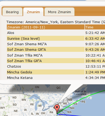
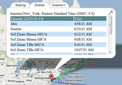
 The
The